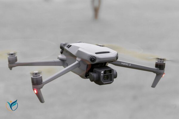
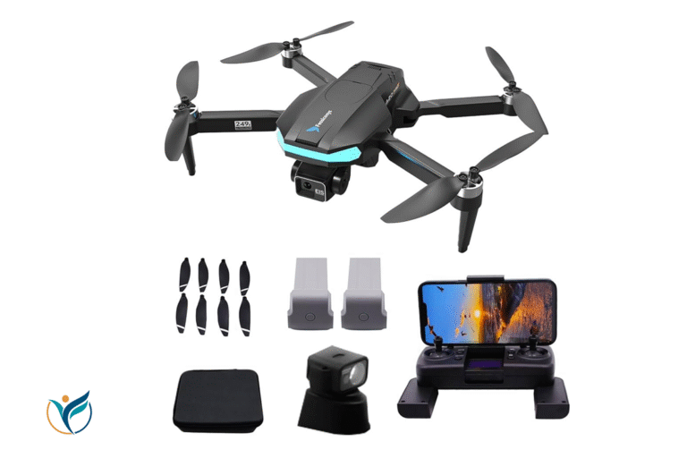
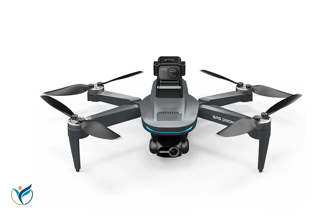
In recent years, GPS drones and long range drones have revolutionized various industries, from agriculture and filmmaking to surveying and logistics. These high-tech devices combine the power of drones with GPS technology, offering unmatched precision, long-distance capabilities, and enhanced efficiency for professional and personal use. Whether you’re a hobbyist, a business owner, or someone looking to explore this fascinating technology, understanding drones with GPS and their capabilities is crucial.
This article dives deep into the world of GPS drones, exploring their uses, benefits, and the advancements in long-range drone technology.
What Are GPS Drones?
A GPS drone is a drone equipped with a Global Positioning System (GPS) that allows for precise positioning and navigation. Unlike traditional drones that rely on manual control or basic sensors for stability, drones with GPS can autonomously navigate through waypoints, track specific routes, and return to their launch points with high accuracy.
GPS technology in drones has enabled autonomous flying, improved flight stability, and provided more accurate data for various applications.
How Do GPS Drones Work?
GPS drones operate by utilizing satellite signals to determine their exact location in real-time. This GPS data is then used to provide the drone with detailed navigation capabilities, ensuring the drone can fly in a specific direction, hover in place, or follow a preset path. Here’s how GPS technology enhances drone performance:
- Precise Navigation: GPS allows drones to follow a predetermined route accurately, which is ideal for tasks such as aerial mapping, surveying, and filming.
- Return to Home (RTH) Feature: One of the most valuable features of drones with GPS is the Return to Home (RTH) function. If the signal between the drone and the controller is lost or the battery runs low, the drone will automatically return to its starting location.
- Waypoint Flying: GPS drones can be programmed to fly along a series of waypoints, which is especially useful for tasks like surveying large areas or capturing time-lapse footage.

Benefits of GPS Drones
The integration of GPS technology in drones has brought several significant benefits, both for casual hobbyists and professional operators. Here are the key advantages:
1. Precision and Accuracy
GPS drones are far more precise than their non-GPS counterparts. They can hover in place with minimal drift, follow complex flight paths, and even adjust their position to avoid obstacles. This precision is particularly beneficial for surveying, mapping, and any task requiring accuracy.
2. Autonomous Flying
Drones with GPS systems can fly autonomously, reducing the workload on the pilot and enabling hands-free operation. Once the drone is programmed with its flight path, it can complete its mission without needing constant input from the operator.
3. Increased Safety
GPS-enabled drones often come with safety features like Return to Home and Low Battery Warning. These features are designed to minimize the risk of losing the drone or causing accidents, ensuring more secure flights, especially for beginners.
4. Long Range and Endurance
One of the most significant advantages of long-range drones with GPS is their ability to cover large distances without losing signal. GPS technology helps extend a drone’s range by providing stable and reliable positioning data, making it possible for the drone to travel farther and stay on course, even in remote areas.

Applications of GPS Drones
The ability to rely on precise GPS coordinates opens up a wide range of uses for drones in various industries. Let’s look at some of the most common applications for GPS-equipped drones:
1. Aerial Photography and Videography
GPS drones have transformed the way aerial footage is captured. Whether it’s for a professional film, wedding, or personal project, drones with GPS systems offer stability and accuracy, allowing for smooth shots even in challenging conditions. The ability to follow a flight path ensures that the shots are consistent and repeatable.
2. Agriculture
Farmers and agricultural businesses have turned to drones with GPS to monitor crops, assess field conditions, and even apply pesticides or fertilizers. With precise flight paths and the ability to cover large areas, GPS drones can make farming operations more efficient and cost-effective.
3. Surveying and Mapping
Surveyors rely on the precision offered by GPS drones to map large areas with high accuracy. Drones equipped with GPS can capture georeferenced data, which can then be used for creating topographic maps, 3D models, or elevation profiles. This technology has dramatically reduced the time and cost involved in traditional surveying methods.
4. Search and Rescue Operations
GPS drones play a critical role in search and rescue missions by helping locate missing persons or assess disaster zones. The drones can quickly cover large areas, and their GPS systems ensure they can return to the exact location of interest if needed.
5. Infrastructure Inspection
Inspecting large structures such as bridges, power lines, and cell towers can be dangerous and time-consuming. GPS drones provide a safe and efficient way to inspect these structures. With precise control and the ability to fly along predefined routes, drones can gather data and images without the need for human intervention.
The Rise of Long Range Drones
As technology continues to evolve, the capabilities of GPS drones have expanded, and long range drones are now more accessible than ever before. Long-range drones are equipped with enhanced GPS systems and advanced transmission technologies that allow them to fly for longer periods and cover greater distances than standard drones.
1. Extended Battery Life
Long-range drones often come with larger, more efficient batteries, allowing them to stay in the air for longer periods. Combined with GPS, this extended flight time allows operators to cover more ground in a single mission, whether it’s for mapping a large area or monitoring wildlife over a vast region.
2. Improved GPS Accuracy and Signal
Long-range drones are designed to maintain a strong GPS signal over extended distances. This ensures that the drone’s position remains accurate even when it is far from the operator. This feature is crucial for applications like mapping remote areas or capturing footage in hard-to-reach locations.
3. Increased Payload Capacity
Many long-range drones are built to carry heavier payloads, including cameras, sensors, or equipment for specific tasks. This expanded capacity enables them to perform more specialized missions, such as industrial inspections or scientific research, while still benefiting from precise GPS-guided navigation.
Choosing the Right GPS Drone for Your Needs
When selecting a drone with GPS, it’s important to consider the specific requirements of your task. Here are a few factors to consider:
1. Range
If you’re looking for a drone that can cover long distances, focus on long range drones with GPS. These models are equipped with enhanced transmission systems that allow for stable communication over larger distances.
2. Payload Capacity
Consider the drone’s ability to carry additional payloads. This is particularly important for tasks like surveying, where specialized cameras or sensors may be required.
3. Flight Time
Battery life is a critical consideration for any drone. Long-range drones often come with larger batteries, but it’s important to ensure the drone offers sufficient flight time for your needs.
4. Camera Quality
For tasks like aerial videography, camera quality should be a top priority. Look for drones that offer high-resolution cameras, stabilizing gimbals, and the ability to shoot in different formats.
The Future of GPS Drones
As GPS technology continues to improve, the future of GPS drones looks promising. We can expect further advancements in long-range drones, allowing for even greater distances and more precise navigation. Innovations in battery technology and lightweight materials will also contribute to longer flight times and more efficient drone designs.
Furthermore, integration with artificial intelligence (AI) will make GPS drones even more autonomous, enhancing their ability to complete complex tasks with minimal human intervention.
Drones and GPS technology have unlocked incredible possibilities, changing the way we approach everything from film production to agriculture. The precision, safety, and versatility offered by drones with GPS make them an invaluable tool in many industries, while long-range drones are pushing the boundaries of what’s possible in aerial exploration and remote monitoring.

